Words by Kait Boyle // Photos by Kurt Refsnider
See Kait and Kurt’s Batholithic Bikepacking Route here.

Sometimes the point of a bikepacking trip is just to go see what’s out there.
As a professional endurance athlete, I’ve ridden plenty of routes with structure—mapped objectives, race goals, known outcomes. But at the end of a long summer, and physically recovering from racing the 24-Hour World Championships in Australia, this trip started with a different kind of intention.
Kurt Refsnider—my teammate and co-founder of Bikepacking Roots—and I had a narrow window to sneak in one last adventure before our attention was needed elsewhere. We weren’t chasing miles or records. We were simply looking to ride.
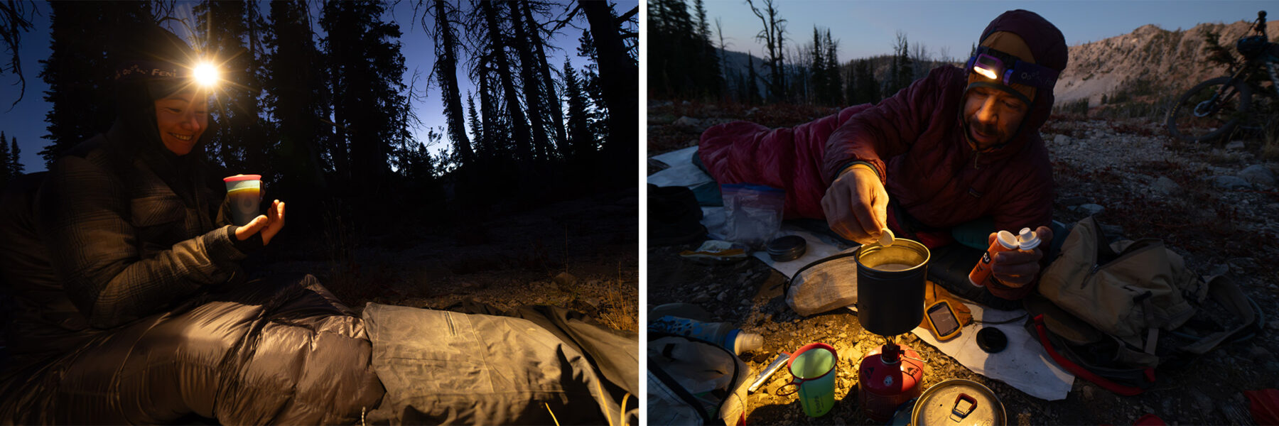
We wanted four days of exploring new-to-us landscape, riding trail (hopefully some good trail!), camping in the mountains, and reconnecting with what inspires us to do this work as full-time professional athletes. We were excited for the challenge, the sense of awe that comes with being in wild places, the self-sufficiency of bikepacking, and being deep in an undeveloped place—no cell service, and limited services along the way.
We had tossed around ideas—a fall trip to the Pyrenees or British Columbia—but with end-of-season fatigue, a dwindling window of free time, and an unusually mild fall in the Rockies, we found ourselves looking closer to my home in the Tetons. A vast stretch of undeveloped public lands in central Idaho drew our attention.
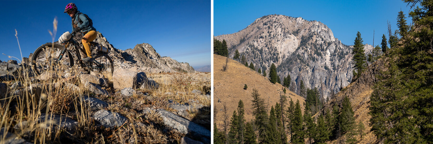
We knew a couple folks who’d spent time bikepacking and riding moto trails out there, but neither of us had. We got some tracks, and after studying the map, we were blown away by how extensive the network looked. Starting with a 200-mile route from a friend, we spent some time comparing layers using data from Ride With GPS, Trailforks, and heatmaps to shorten it into a prospective route that could fit into our four-day window.
Then we packed up and drove into the heart of Central Idaho.

Trail Gamble #1: The Shortcut
We kicked things off with a 4,300-foot climb and the looming possibility of another 6,000—including a steep mystery trail that gained 3,000 feet in under three miles. It was likely a hike-a-bike, and with no beta and a tight food window, we weren’t sure it was worth the risk.
Our food plan hinged on reaching a bar in Atlanta the next day. It was the only service for 30 miles and would be closed the day after.
From a lunch perch, we pulled up Ride With GPS and spotted a moto trail we’d passed 600 feet below—a line that dropped into a drainage and, on the map, reconnected with our route.
We decided to gamble.
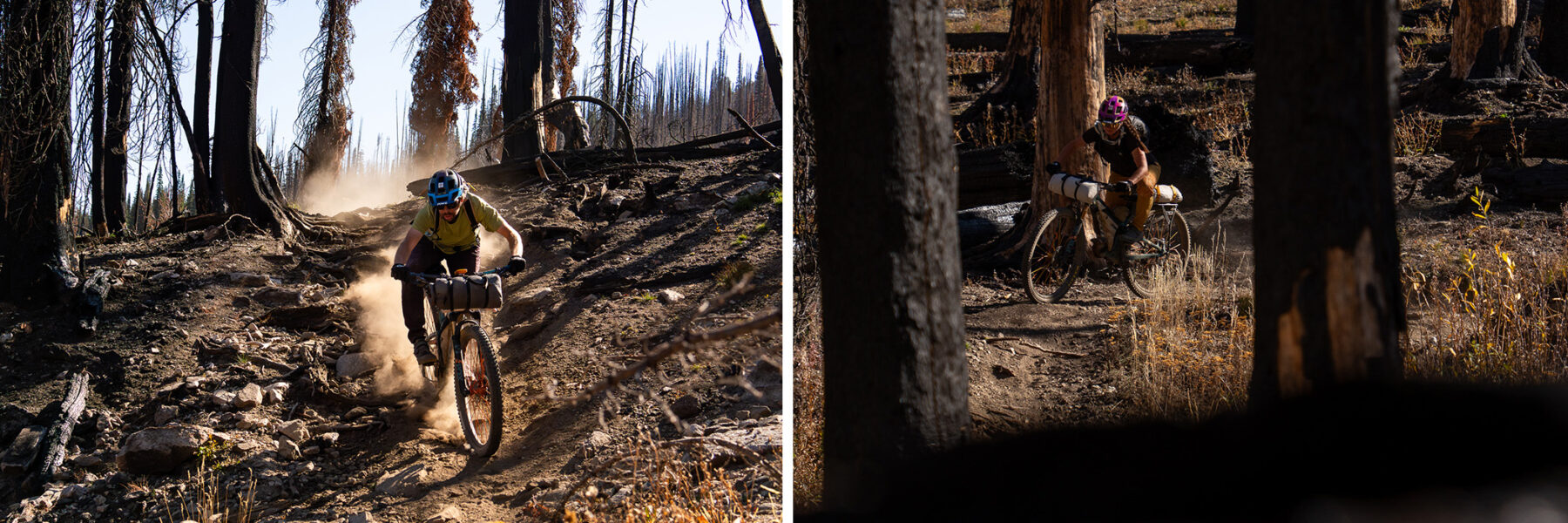
We pointed our bikes down into a burn area, following faint moto and hunter tracks. To our surprise, it was rideable, with barely any deadfall. We only lost the trail once near a rerouted bridge before linking back up.
We called it a win and made camp out of the way of hunter traffic.
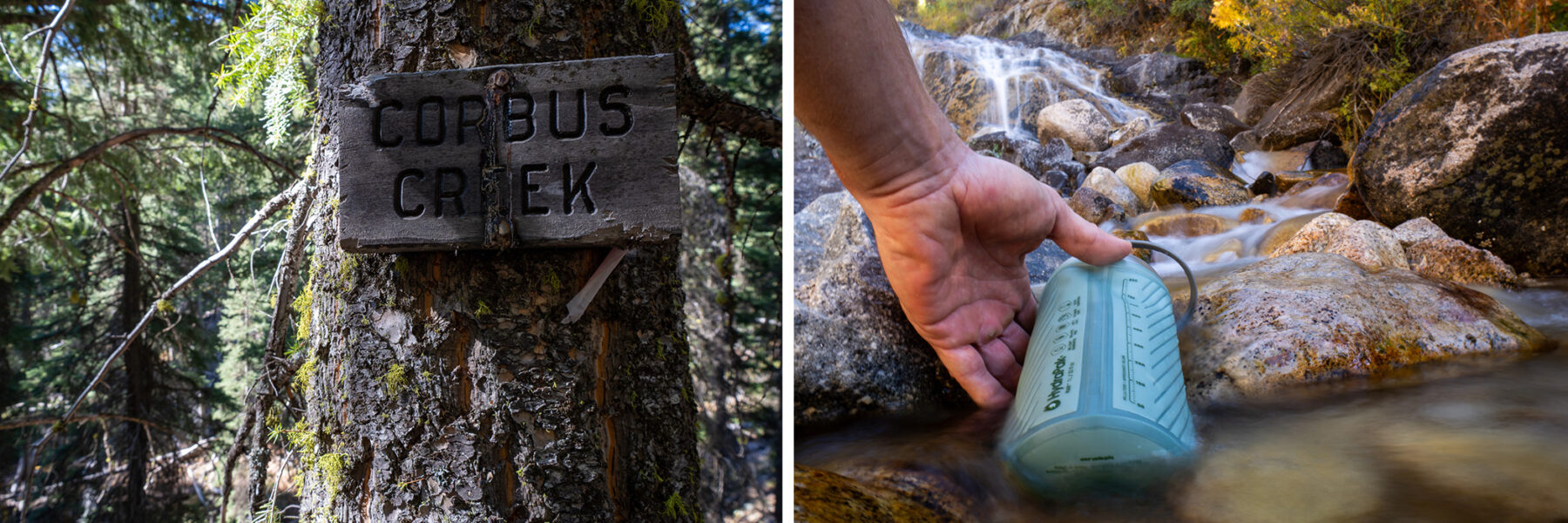
Trail Gamble #2: Into Corbus Creek
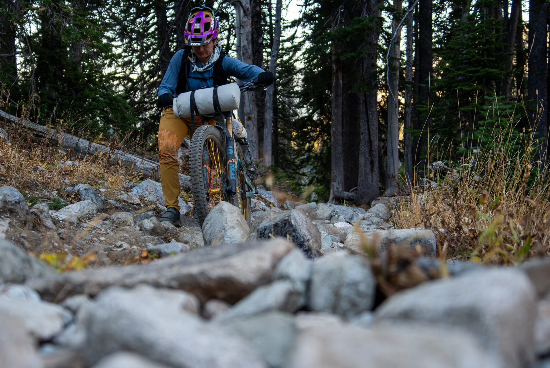
The next day brought yet another 3,000-foot road climb, and yet another unvetted trail—this one with a name and a 4-star Trailforks rating, seemingly from a single user. We pushed our loaded bikes 1,000 feet up an eroded moto trail, unsure what we’d find.
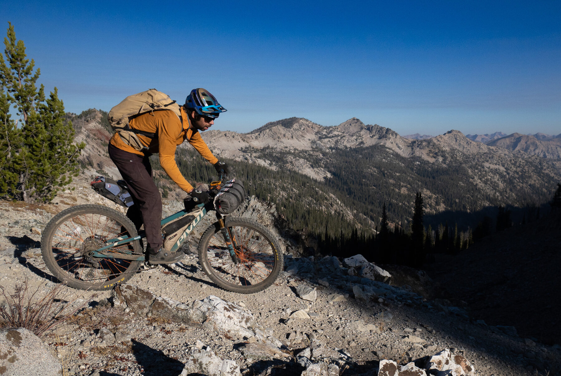
From the saddle, the views were vast. The Sawtooths lay to the east. To the north, National Forest lands stretched deep into the Frank Church–River of No Return Wilderness—terrain I knew well from my years guiding NOLS courses on the Main Salmon River. It felt endless.
The trail dropped into Corbus Creek and wound through side drainages. Aside from overgrowth, it was in great shape. We followed tracks from wolves, bears, and elk, often riding out of sight of each other, each falling into our own rhythm of pushing, weaving, and descending.
We hadn’t seen another person since the day before. That deep solitude made it easy to feel small, in the best way.
Trail Gamble #3: Fueled by Fried Chicken
In Atlanta, we stopped at the bar, ordered fried chicken sandwiches and tots—one for now, one to pack out—and looked over the map.
The next section climbed a road to a pass, dropped 1,000 feet, then climbed again through a long drainage. We spotted a trail that contoured off the first pass and rejoined our route farther along, potentially saving a thousand feet of climbing.
After digesting while grinding up a steep mine road, we found the trail: ATV-width, zero stars on Trailforks, not recommended by our beta, but it had a fresh mountain bike track heading in.
About a mile in, we were pushing through thick, unrideable overgrowth. But within twenty minutes, the brush thinned, and we rejoined our intended route.
Trail Gamble #4: Know When to Fold
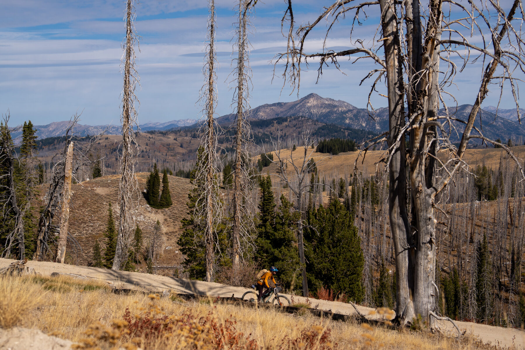
The next trails had been recommended by friends—quality backcountry moto trails with a healthy dose of pushing our loaded bikes up, rewarded by ripping downward descents.
We found just enough food at a store stocked like it was still the off-season and set out on our final leg. These trails were closer to the Sun Valley side, and signage at trailheads showed their higher use. That evening, we saw other people for the first time all trip.The last day started just as hard and just as rewarding. After a 4,000-foot descent, we stopped to refill water and decide: climb back over the mountains for more singletrack, or take the river road straight to the car.
We’d already climbed over 23,000 feet in three days, had just a few snacks between us, and about four hours until we needed to hit the road. It was tough to leave trails unridden, but we knew we’d be back.
We ended on the high note of that descent—satisfied, and ready for the road.
What We Left Behind
It’s nearly always worth taking the trail. And sometimes, it’s worth leaving something behind—because it turns out there’s more out there than we knew. What started as a loose plan became a reminder of why we ride: for the solitude, the awe, the unexpected wins, and the joy of finding good trail in wild places.
See the Batholithic Bikepacking Route here.
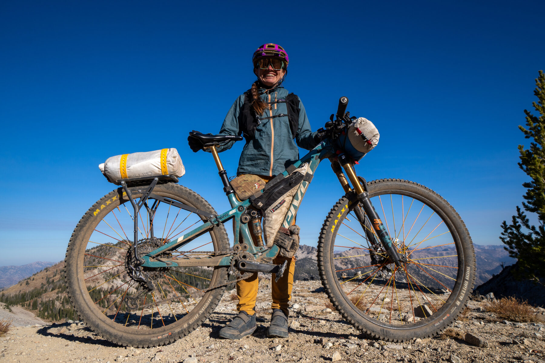
Kait’s bags:
Jerrycan top tube bag
Pronghorn handlebar system
Kurt’s bags:
Terrapin 8L seat bag
Mag-Tank top tube bag
Pronghorn handlebar system